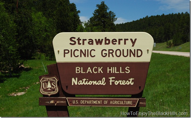
Strawberry Picnic Area is located on Strawberry Hill about 5 miles south of Deadwood on Highway 385. This is a great day use area in the Black Hills National Forest and one of twenty-six picnic areas found throughout the forest. There is a sign as you enter warning the road is only suited for vehicles shorter than 20 feet. The gravel road is a bit bumpy and there is no turn around at the end, so leave your big rig at home.
Picnic Area
This is a smaller picnic area with five or six picnic tables and a couple of charcoal grills. There is a vault toilet and at least one fire ring. There is no fresh water or electricity. Enjoy an after lunch walk on the nice paved path connecting the picnic ground to the small pond.
Fishing
Bring your pole and your SD fishing license. The small pond is stocked with trout each spring. There are a couple of fishing platforms located along the pond’s edge.
More Information
Since this is a day-use area there is a $4 per day fee. You will find the self-pay station located near the vault toilet. This area is only open during the summer season, be sure to enjoy it while you can.
And, if you saved room for desert.. remember you can grab some truffles from the Chubby Chipmunk just five miles up the road.
The Deadwood Trailhead for the Mickelson Trail is also located just up the road in Deadwood, or head south to the Englewood Trailhead.
Tagged as:
Black Hills fishing,
black hills national forest,
picnic area,
Strawberry Hill,
the black hills
{ }
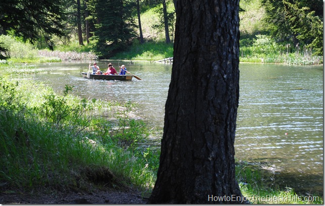
This little Black Hills Lake was built in 1930 by the Civilian Conservation Corps. They also built the campground and the nearby Ski Slide and Jump. The now overgrown ski area, was the first in the area. The day-use fee for the area is $4 per vehicle. This tiny lake in the Black Hills National Forest is a great place to paddle around in a little boat or go fishing. There are a couple of fishing docks on the campground side of the lake.
Dalton Lake Campground
This is a small 10 site campground (plus one more for the host). Reservations are not accepted, so it is first-come, first-served. The campground lies on one side of the lake and all sites have a fire ring. Camping fees are $17 per night. There is a vault toilet and fresh water is available.
Dalton Trailhead
Dalton is 6.1 miles north of the Boxelder Trailhead and 12.8 miles south of the Elk Creek Trailhead. The portion of the Centennial Trail north of here is pretty isolated. It is a great area to hike, mountain bike or horseback ride and have the trail to yourself most of the time.
If you are going to using the Centennial Trail in the Northern Black Hills I would encourage you to carry a good map like
National Geographic Trails Illustrated Black Hills, South East, South Dakota
and a good guide book, such as
Exploring the Black Hills and Badlands: A Guide for Hikers, Cross-Country Skiers, & Mountain Bikers
How to get to Dalton Lake
Turn off FH road 26 (also known as Vanocker Road) onto road 224. Travel through the beautiful Little Elk Meadow Canyon for about five miles. There are brown and white forest service signs guiding the way.
View Enjoy the Black Hills in a larger map
Visit the Dalton Lake Campground page on the Black Hills National Forest website for more information.
Tagged as:
black hills,
black hills forest,
black hills hiking,
black hills hiking trails,
Black Hills Horseback Riding,
black hills mountain biking,
black hills national forest,
black hills south dakota,
Centennial Trail,
Dalton Campground,
Dalton Lake,
Dalton Trailhead,
the black hills
{ }
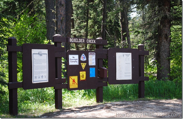
Just down the road from Nemo you’ll find the Boxelder Creek Trailhead for the Centennial Trail. It is 6.1 miles south of the Dalton Trailhead and 7.6 miles north of the Pilot Knob Trailhead.
 This is a beautiful area with stream crossing and thick stands of pine. If you plan on staying in the area, the Boxelder Forks Campground is about a mile down the road or Nemo has more modern accommodations and a restaurant.
Grab a Map
This can be a busy portion of the trail during peak season. I’ve seen horseback riders, hikers, mountain bikers and ATV riders all on this part of the trail. OHV’s are allowed on some parts of the trail, view the Northern Black Hills BHNF Motorized Recreation Map for details.
View Enjoy the Black Hills in a larger map
I you plan on doing a lot of hiking in the Black Hills or on the Centennial Trail I would encourage you to purchase a copy of Exploring the Black Hills and Badlands: A Guide for Hikers, Cross-Country Skiers, & Mountain Bikers . It is a great guide book for the area. Also Black Hills – Northeast, South Dakota Trails Illustrated Map #751
 if a very good map of the area. It has the trailheads and campgrounds marked.
Tagged as:
black hills atv trails,
black hills hiking,
Black Hills Horseback Riding,
Boxelder Creek Trailhead,
Centennial Trail,
Nemo,
OHV map
{ }


